Our journey up to Uig on Skye will be described on my Pensby Blog as and when I have time to edit the photos and do the postings. So this Blog begins around 5 pm on Thursday as we queued for the boat at the Caledonian MacBrayne ferry terminal at Uig.
There were some Razorbills in the harbour - they seem to be the auks that approach closest to the shore as they can be found in Stornoway harbour as well.


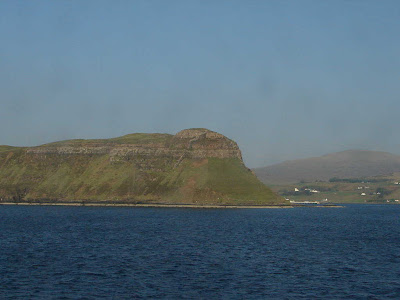
We were the second car onto the boat and enjoyed an incredibly calm crossing. I waved cheerio to Skye with its interesting rock formations and we then passed the aptly named Fladda-chuain (flat-topped island of the Minch).


The day had been one of glorious sunshine from start to finish and the light was fantastic. We gradually approached Harris and then passed this little lighthouse on Sgeir Ghlas off Sceotasaigh.


The ferry also passes the bridge from the island of Harris over to Scalpay.


We docked at Tarbert and left the boat at about 8.35 pm. Just as the boat was docking the Garmin, GB’s satellite navigation system, (hereinafter to be called Maddy) kicked in and showed the car in the water!


Once out on the open road from Tarbert to Stornoway we passed Loch a siar (West Loch Tarbert). The light continued fantastic throughout the journey up the island and into Lewis. It didn’t seem to matter whether one was facing into the setting sun or photographing the landscapes to the North and East such as Clisham and the other mountains of North Harris.


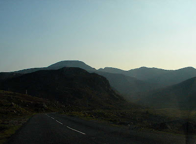
As the road curled round the Clisham group we had Ben Mhor on our right and then dropped down to Loch Seaforth. As we descended the steep drop into Ardvourlie it looked as though the peat was on fire but the smoke turned out to be coming up from the shore.


I wanted to photograph Loch Seaforth but it was not possible from my side of the car so GB kindly turned round and went back to Aline Lodge for me.


Just before Balallan, near Loch Strandavat, there is one of three Land Raiders Monuments to have been commissioned on the Isle of Lewis. This one commemorates the Pairc deer raid in 1887 when crofters tried to kill some of the laird's deer to draw attention to the injustices and hardships they faced.


According to Wikipedia Balallan (Scottish Gaelic: Baile Ailein, meaning "Allan's Town") has the distinction of being the longest village - 4 miles measured from end to end - in Lewis and also in northern Scotland. (Everyone bar Wikipedia would call it a township as is the name applied to other such comunities on the islands!) Straggled along the head of a long sea loch between Arivruach and Laxay, it developed due to a mixture of fishing and crofting along the loch shore. It sits at the head of Loch Erisort. Those on the loch side were each given direct access to the loch for their boats as well as access to the moorland behind for their sheep.


One of the infuriating things about this road from a photographer’s point of view is the large number of telegraph and electricity poles which run alongside it. These make taking photos like these of Loch Breugach a hazardous business at fifty miles an hour.


As we passed through Stornoway and over the Braigh onto the Eye peninsula the sun finally began its long setting process.

We turned off over the little moorland to Lower Bayble and arrived at Eagleton - my home for the next few weeks.


No comments:
Post a Comment
Welcome - comments are nearly always appreciated (the exception being those that simply advertise which don't make it past my moderation so please, don't bother).